

Eastern Australia is expecting harsh winter weather this weekend. Forecasts warn of frost, strong winds, hail, and heavy snow starting Friday. Earlier this week, cold weather dropped temperatures close to zero in parts of tropical Australia, with snow reaching Queensland’s Granite Belt.
A new cold front, which moved through Western Australia on Thursday, is expected to hit southern South Australia by Friday afternoon. According to the Bureau of Meteorology (BOM), it will then move to Victoria, Tasmania, southern New South Wales, and the ACT by Friday night.
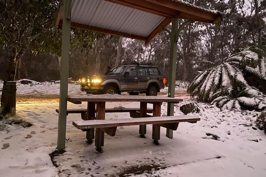
Snow and Weather Warnings
BOM Senior Meteorologist Sarah Scully said that alpine regions might see 20-30 cm of new snow. The cold air will lower snow levels to 900 meters in Tasmania, Victoria, and NSW’s alpine regions, and to 1000 meters in the NSW Central Tablelands. Snow might also reach central parts of the Great Dividing Range in NSW.
Several weather warnings are in place for southeastern Australia. These include strong wind warnings for South Australia’s Mount Lofty Ranges from Friday to Saturday, and blizzard warnings for Victoria’s northeast and NSW’s alpine areas from Friday evening.
Impact and Reactions
Recently, snow reached Ben Lomond Range near Guyra in the Northern Tablelands of NSW, and sleet and snow hit Queensland’s Granite Belt. Ms. Scully noted that snow settling this far north is rare, usually happening only once a year without staying on the ground.
Queensland recorded its coldest July temperature in 116 years, with Palmerville on Cape York Peninsula dropping to 0.5 degrees Celsius. Kowanyama on the Gulf Coast also experienced an unusually low 4.9 degrees Celsius.
Ski Resorts and Snow Levels
Australia’s ski resorts welcomed the fresh snow, which followed a slow start to the season. Bridget Halsall from Falls Creek Alpine Resorts said the recent snow had greatly improved conditions, providing better snow cover for skiing. More snow expected on Saturday night could add another 30 cm to the alpine regions.
While many ski resorts are still below their average snow levels for this time of year, the upcoming snowstorm might bring levels back to normal, improving the skiing experience.
