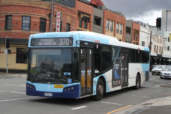
The 370 Bus Route in Sydney is a vital link connecting Coogee Beach to Glebe Point, serving a diverse array of neighborhoods and key destinations along the way. This blog will provide you with a comprehensive overview of the 370 Bus Route, including its detailed timetable, route map, and answers to frequently asked questions.
Whether you’re a daily commuter or a visitor exploring Sydney, understanding the 370 Bus Route will enhance your travel experience and help you navigate the city’s public transport system with ease.
370 Bus Route
The 370 Bus Route offers a convenient connection between Glebe Point and Coogee Beach, making it an essential option for commuters and travelers alike. Whether you’re heading to the bustling city center or returning to the comfort of Chermside, this route ensures a smooth and efficient journey with frequent services throughout the day.
Related >> 901 Bus Route, Timetable And Schedule
370 Bus Route from Glebe Point to Coogee
- Federal Rd opp Bicentennial Park
- Glebe Point Rd at Leichhardt St
- Glebe Point Rd after Cook St
- Glebe Point Rd after Forsyth St
- Glebe Point Rd opp Glebe Library
- Glebe Point Rd at Bridge Rd
- Glebe Point Rd at St Johns Rd
- Glebe Point Rd at Mitchell St
- Glebe Point Rd opp Glebe Public School
- Glebe Point Rd at Broadway
- City Rd opp Victoria Park
- City Rd after Cleveland St
- University of Sydney, City Rd
- King St opp Carillon Ave
- King St after Queen St
- King St opp Missenden Rd
- King St at Erskineville Rd
- Newtown Station, King St, Stand C
- King St opp Holt St
- King St opp Camden St
- King St opp Holmwood St
- King St opp St Peters Station
- Sydney Park Rd opp Sydney Park
- Mitchell Rd after Coulson St
- Mitchell Rd opp Maddox St
- Erskineville Oval, Mitchell Rd
- Mitchell Rd after Copeland St
- Fountain St opp Lawrence St
- McEvoy St at Loveridge St
- McEvoy St before Wyndham St
- Yudi Gunyi School, Botany Rd
- Green Square Station, Botany Rd, Stand C
- Epsom Rd at Dunning Ave
- Epsom Rd opp Dalmeny Ave
- Epsom Rd after Link Rd
- Lenthall St at McDougall St
- Todman Ave at Balfour Rd
- Anzac Pde after Darling St
- Anzac Pde before Doncaster Ave
- High St opp UNSW Gate 2
- High St opp UNSW Gate 8
- Clara St at Blenheim St
- Belmore Rd at Avoca St
- Coogee Bay Rd after Belmore Rd
- Coogee Bay Rd at St Luke St
- Coogee Bay Rd at Melody St
- St Brigid’s Primary School, Coogee Bay Rd
- Arden St at Dolphin St
Related >> 333 Bus Route and Timetable
370 Bus Route from Coogee to Glebe Point
- Arden St opp Coogee Bay RdCoogee
- Coogee Public School, Coogee Bay RdCoogee
- Coogee Bay Rd at Dudley StRandwick
- Coogee Bay Rd at Perouse RdRandwick
- Belmore Rd opp Royal Randwick Shopping CentreRandwick
- Clara St opp Blenheim StRandwick
- UNSW Gate 8, High StRandwick
- UNSW Gate 2, High StRandwick
- Anzac Pde before Addison StKensington
- Todman Ave after Anzac PdeKensington
- Todman Ave at Balfour RdKensington
- Lenthall St at Milroy AveKensington
- Lenthall St opp Virginia StKensington
- Epsom Rd opp Link RdRosebery
- Epsom Rd at Dalmeny AveRosebery
- Epsom Rd before Dunning AveRosebery
- Botany Rd after Johnson StAlexandria
- Green Square Station, Botany Rd, Stand AAlexandria
- Botany Rd at Mandible StAlexandria
- McEvoy St after Botany RdAlexandria
- McEvoy St at Hiles StAlexandria
- McEvoy St at Stokes AveAlexandria
- Fountain St after McEvoy StAlexandria
- Mitchell Rd opp Copeland StAlexandria
- Mitchell Rd opp Erskineville OvalErskineville
- Mitchell Rd at Maddox StAlexandria
- Sydney Park Rd opp Mitchell RdAlexandria
- St Peters Station, King StSt Peters
- King St before Holmwood StNewtown
- King St at Camden StNewtown
- King St at Holt StNewtown
- Newtown Station, King St, Stand BNewtown
- King St at Hordern StNewtown
- King St at Missenden RdNewtown
- King St opp Georgina StNewtown
- King St at Carillon AveNewtown
- University of Sydney, City RdCamperdown
- Victoria Park, City RdCamperdown
- Glebe Point Rd after Parramatta RdGlebe
- Glebe Public School, Glebe Point RdGlebe
- Glebe Point Rd at Mitchell StGlebe
- Glebe Point Rd at St Johns RdGlebe
- Glebe Point Rd before Bridge RdGlebe
- Glebe Point Rd at Hereford StGlebe
- Glebe Library, Glebe Point RdGlebe
- Glebe Point Rd opp Forsyth StGlebe
- Glebe Point Rd opp Leichhardt StGlebe
- Federal Rd opp Bicentennial ParkGlebe
Related >> The Ultimate Guide to Opal Card in Sydney
370 Bus Timetable
The 370 bus route runs daily, with regular service hours from 05:05 AM to 12:25 AM.
| Day | Operating Hours | Frequency (min) |
|---|---|---|
| Mon | 05:05 - 00:25 | 9 - 20 |
| Tue | 05:05 - 00:25 | 9 - 20 |
| Wed | 05:05 - 00:25 | 9 - 20 |
| Thu | 05:05 - 00:25 | 9 - 20 |
| Fri | 05:05 - 00:25 | 9 - 20 |
| Sat | 05:05 - 00:25 | 9 - 20 |
| Sun | 05:05 - 00:25 | 10 - 20 |
Download the printable timetable here
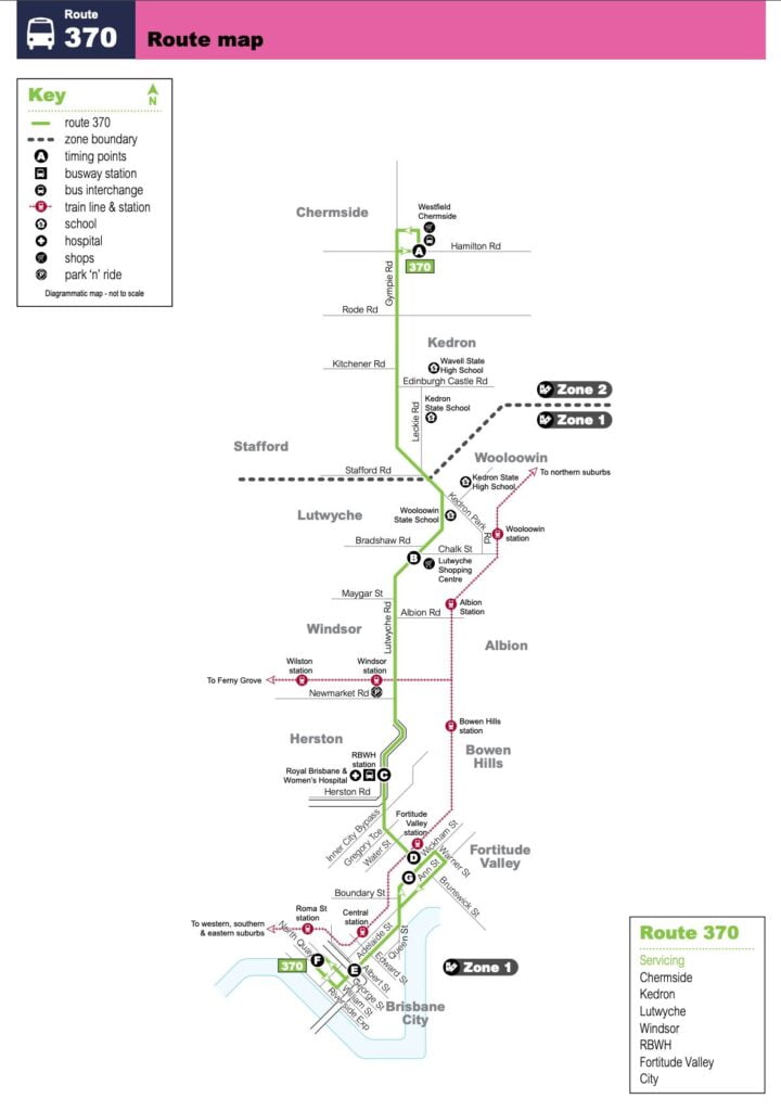
370 Bus Route Map
The 370 bus route map offers a comprehensive view of its journey, stretching from Federal Rd opp Bicentennial Park to Arden St at Dolphin St near Coogee Beach. With 48 stops along the way, this route provides convenient access to key locations and attractions.


